061 PDM
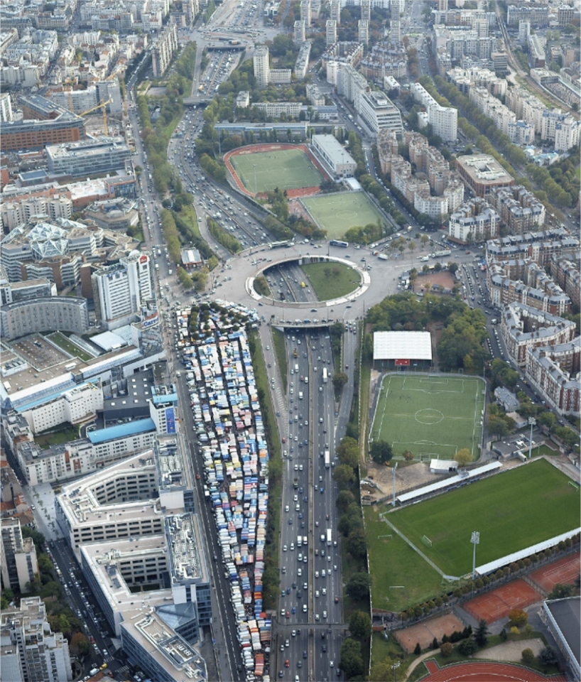
The urban location of the Porte de Montreuil commingles two major logics of the constitution of the metropolis. The East-West logic arises from the radial-concentric extension of Paris’ centre towards its peripheral zones, and the North-South logic from the Green Belt and the Boulevard Périphérique (Inner Ring Road). The project conjugates these two logics and defines a new major public space, a new infrastructure allowing all the existing uses to find an available foundation.
This new public space is coloured by three associated metropolitan strategies. The crossing strategy, which intensifies the links between Paris, Bagnolet and Montreuil, and which seeks to reinforce all the existing connections above the ring road; the augmented streets strategy, which considers the streets bordering the HBM belt as surfaces able to integrally renew the landscape linked with the Green Belt and, finally, the sports parkway strategy, which proposes for the Ring Road a pacified future, giving more space to soft mobilities.
| Location: | Paris 20, France |
|---|---|
| Client: | Ville de Paris, Direction de l'Urbanisme |
| Surface: | 38 hectares |
| Calendar: | Study 2017-2019 |
| Team: | with TVK (architect urbanist mandatory), OLM (landscape architect), Bollinger+Grohman (structure), CITEC (infrastructure), Le Sommer (sustainability), OGI (VRD), Ville Ouverte (concertation) |


